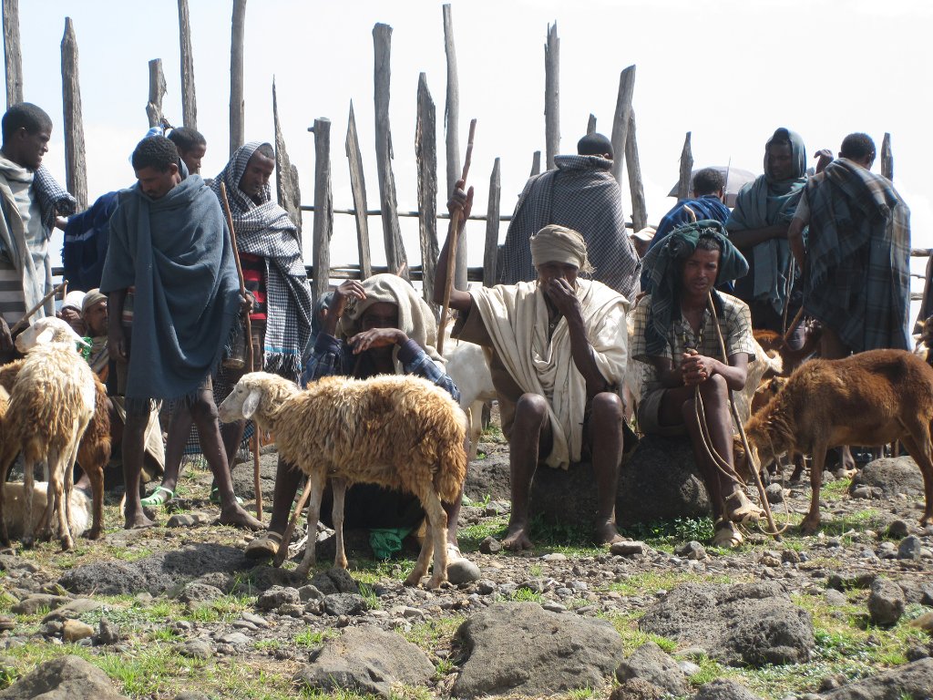
Up Ron & Marjolijn's holiday pictures » 2013-11 Ethiopia » 02-Bahar Dar Prev Next Slideshow

 Previous image  Next image  Index page  Original Image [39-Cattle market.jpg - 1.0MB]
27-On their way to the market
28-Blue Nile Falls
29-Blue Nile Falls
30-Blue Nile Falls
31-Blue Nile Falls
33-Blue Nile Falls
33-We in front of the Blue Nile Falls
34-On their way to the market
35-On their way to the market
36-Children at the cattle market
37-Children at the cattle market
38-Children at the cattle market
  39-Cattle market.jpg -                                 
41-Children at the cattle market
42-Children at the cattle market
43-Luch in Bahar Dar
44-Ura Kidane Mihret (monastery)
45-Inside the monastery
46-Murals in the monastery
47-Murals in the monastery
48-Murals in the monastery
49-Murals in the monastery
50-Sunset at the Zege Peninsula
51-On the boat to the monastery
 

39-Cattle market Download Original Image
Latitude: N 11°28'59,45" | Longitude: E 37°35'22,69" | Altitude: 1640 metres | Location: T’īs Isat | State/Province: Amhara Region | Country: Ethiopia | See map
Total images: 53 | Help